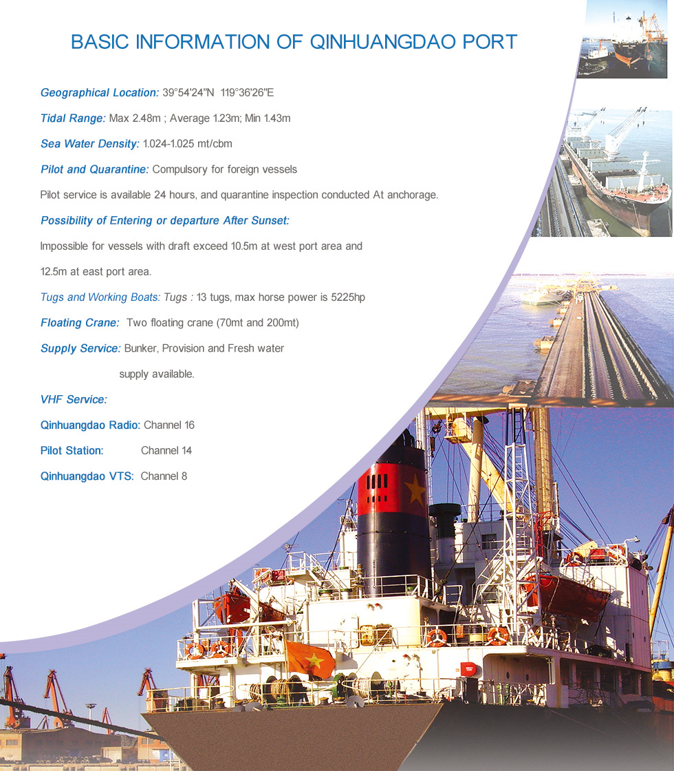
Port Information


| Channel and Position | Length(m) | Width(m) | Depth(m) |
| Main channel(160) | 6910 | 120 | 13.5 |
| West channel(130) | 4838 | 120 | 13.5 |
| East channel(191) | 4486 | 120 | 13.5 |
| Cape channel(150) | 16800 | 200 | 16.5 |

| Anchorage | Position | Depth (m) | Vsl can hold | Design for |
| East/anch | 108°-150° 3-8 miles | 11-15.5 | Panamax vsl | Coal vsl |
| West/anch | 165°-190° 3-8 miles | 10-14 | Panamax vsl | Odd and bulk vsl Tanker |
| Tanker/anch | 100°-108° 8-10 miles | 11.7-15 | Panamax vsl | Coal and |
| Capt/anch | 128°-150° 13-14 miles | 18.0 | Cape size vsl | Iron ore vsl |
Longitude based NanShanTou light house as the center.
Details as below:
West anchorage:
It is a sector area with Nanshantou light house as its center, lying between the bearing lines
165 -190 degree at a distance of 3 to 8 miles in radius.
East Anchorage:
It is an area surrounded by boundary lines as follows:
◎ Bearing line of 108 joining Nanshantou Lighthouse.
◎ Bearing line of 150 joining the position 39 54 00.80N /119 41 43.99E.
◎ Arc with Nanshantou Lighthouse as its centre,at a distance of 3-8 miles as its radius, with bottom mud and sand,depth 11m to 15.5m.
Oil Tanker Anchorage:
It is an area surrounded by boundary lines as follows:
Bearing line of 100 and 108 joining Nanshantou Lighthouse.
◎ Bearing line of 150 joining the position 39 54 00.80N/119 41 43.99E.
◎ Arc with Nanshantou Lighthouse as its centre at a distance of 8
miles as its radius, with bottom mud and sand,depth 11.7m to 15m.
Capesize Vessels Anchorage:
It is an area surrounded by boundary lines as follows:
◎ Bearing line of 128 joining Nanshantou Lighthouse .
◎ Bearing line of 150 joining the position of 39 54 00.80N/ 119 41 43.99E
◎ Arc with Nanshantou Lighthouse as its centre at a distance of 13.4 and 14 miles as its radius,with bottom mud and sand,depth 18m.


 Sina Official WeChat